
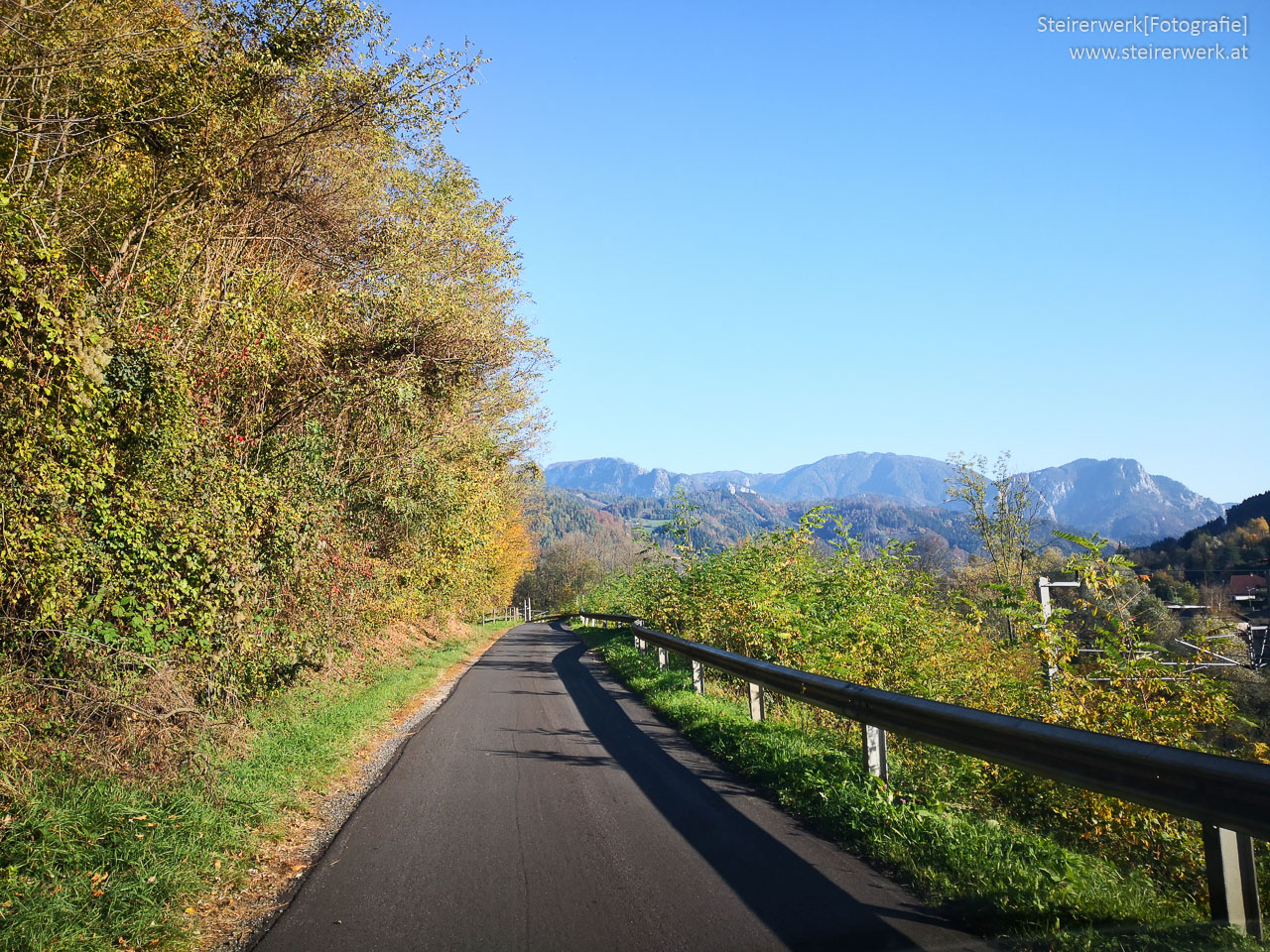
Ob eine kurze Radtour mit der Familie oder eine mehrtägige Tour mit verschiedenen Etappen und Übernachtungen – Radtouren in Österreich bieten für jeden das Passende.Im Nachfolgenden findest du 10 der schönsten Radwege in Österreich sowie die einzelnen Bundeslänger mit ihren ganz eigenen Reizen und Wegen.
10 der schönsten Radtouren in Österreich
- Lackenradweg im Burgenland: Leichte Radtour, die für Familien gut geeignet ist. 52,1 km Länge
- Hartberger Radweg in der Steiermark: Mittelschwere Rundtour, familienfreundlich. 31,5 km Länge
- Lechradweg in Tirol: 52 km lange Radtour mit mittlerem Schwierigkeitsgrad
- Wörthersee Rundfahrt in Kärnten: Familienfreundlicher Radweg rund um den größten See in Kärnten. 49 km lang mit mittlere Schwierigkeit.
- Grenzenlose Murauen Tour in der Steiermark: Leichte Genussradtour durch Österreich bis über die Grenze Sloweniens, 29 km
- Hundstein-Runde im Salzburger Land: 44,4 km schwere Mountain-Tour, für die sehr gute Kondition erforderlich ist
- Hochoetz Panoramatour in Tirol: 40,8 km lange, schwere Mountainbike Tour für geübte Radfahrer
- Weinberg-Tour in der Steiermark: Mittelschwere beliebte Radrunde, 54,6 km
- Gaumenfreuden-Tour in der Steiermark: Eine Genussradeltour mit mittlerem Schwierigkeitsgrad, 43km, mit vielen Einkehrmöglichkeiten
- Gestütstour in der Steiermark: 21,8 km mittlere Tour, die auf den Spuren der Lipizzaner vorbei an Pferdehöfen und Stallungen führt
Für schöne Radtouren in Österreich bieten sich alle neun Bundesländer gleichermaßen an. Jedes Bundesland ist einzigartig. Überall findet man Touren in verschiedenen Schwierigkeitsgraden und mit diversen Möglichkeiten des Sightseeings entlang der Strecke.
Niederösterreich: Gemütliche Radtouren und Genußradeln
Besonders interessant in Niederösterreich ist wohl der Donauradweg, der 260km am Ufer der Donau entlang führt. Das UNESCO Weltkulturerbe Wachau, romantische Städtchen und viele Aussichtspunkte mit herrlichem Panorama machen den Weg so lohnenswert. Abstecher von hier führen den Radler zum Mostviertel und ins Weinviertel wo sich ein weiteres ca. 1600 km ausgedehntes Radnetz erstreckt. Museen und romantische Kellergassen mit Weinstuben laden zur Einkehr ein.
Oberösterreich: Radtouren für jedermann
In Oberösterreich bietet sich dem Radfahrer nicht nur eine große Auswahl an Radwegen in reizvoller Landschaft sondern auch in verschiedenen Schwierigkeitsgraden. Lohnenswert ist beispielsweise der 179km lange Römerradweg. Viele Fundstellen und Spuren aus der römischen Besiedlungszeit sind unterwegs zu sehen. Für Familien ist dieser Radweg sehr gut geeignet da es kaum Steigungen gibt.
Der Salzkammergutradweg lässt sich prima mit einem Badeausflug verbinden, da dieser sich auf überwiegend asphaltierten Wegen von See zu See erstreckt. Sportliche Radfahrer nutzen den Ennstalradweg.
Salzburger Land: Kulturradeln auf den Spuren Mozarts
450 km erstreckt sich der Mozartradweg vom Salzburger Land bis nach Tirol und Bayern zu den Lebens- und Wirkungsstätten des großen Musikers. Kultur und Geschichte ist hier inklusive.
Ein weiteres Highlight in diesem Bundesland ist beispielsweise der 410km lange Alpe-Adria-Radweg.
Rennradfahrer kommen im Salzburger Land ebenfalls auf ihre Kosten. Denn hier finden sich die beliebtesten Rennrad-Touren, inklusive 13 radfreundlicher Betriebe zum Einkehren und auch zum Übernachten. Höhepunkt für Rennradfahrer ist der jährlich stattfindende Ironman 70.3 Ende August.
Steiermark: Flüsse und Wein machen das Radfahren zum Erlebnis
Der längste Flussradweg ist der Murradweg. Mit 365km schlängelt er sich in der Steiermark entlang der Mur. Angefangen vom Ursprung im Salzburgischen Lungau im Nationalpark Hohe Tauern, über die steirische Landeshauptstadt Graz bis nach Bad Radkersburg. Das Dachsteinmassiv und das wildromantische Reichramiger Hintergebirge sind die wundervolle Naturkulisse vom Ennsradweg. Dieser zählt zu den landschaftlich schönsten Radtouren in Österreich – mit Bergen, romantischen Tälern und Wildbäche sowie Dörfer und historische Städte. Die Weinland-Steiermark-Tour bietet neben zahlreichen Genüssen der regionalen Küchen und passendem Wein auch jede Menge an Sehenswürdigkeiten mit Einblick in die steirische Lebenskultur.
Tirol: 3 Länder und kulturelle Höhepunkte
Radtouren in Österreich sind auch für E-Bikes etwas. Der als erster in Europa mit 5 Sternen zertifizierte E-Bike Radweg Drauradweg führt durch das Dreiländereck Österreich-Italien-Slowenien. Herrliche Plätze am Wasser, an Stauseen und Wasserfällen laden zum Rasten und Verweilen ein. Über die Sonnenstadt Lienz, die Büchsenmacherstadt Ferlach bis hin nach Varazdim bietet die Tour jede Menge Abwechslung an kulturellen und kulinarischen Möglichkeiten.
Ein weiterer Tipp in Tirol ist der Radweg Via Claudia Augusta, ein Route entlang der uralten römischen Kultur- und Handelswege zwischen Donau und Adria.
Vorarlberg: Reizvolle Landschaften mit ebenen und steilen Strecken
Der Bodensee-Radwanderweg ist besonders beliebt, er führt entlang des Ufers Deutschland-Schweiz-Österreich und kann in Etappen auch mit dem Schiff zurückgelegt werden. Zahlreiche Hotels und Jugendherbergen stehen für Übernachtungen zur Verfügung. Als Symbol für die Verbindung zwischen Deutschland und Österreich gilt der Walgau-Rheintal-Bodensee-Radweg.
Burgenland: Genussradeln im Naturreservat
Der Neusiedler-See-Radweg ist aufgrund seiner geringen Höhenunterschiede bei Familien sehr beliebt. Um den größten Steppensee Mitteleuropas herum führend zählt er zum UNESCO Weltkulturerbe. Seltene Wasservögel findet man im Nationalpark Neusiedler-See-Seewinkel. Rastplätze laden zum Verweilen ein. In Rust findet man die erste Fahrradpension des Burgenlands, die Pension „Drahteselböck“, die mit 19 originell gestalteten Zimmern ausgestattet ist. Einkehrmöglichkeiten bieten die Altstadt von Tust und die Kellergassen von Purbach und Breitenbrunn.
Kärnten: Herausforderungen für alle Radfahrer
Kultur- und Naturliebhaber kommen auf dem 162 km langen Radweg Via Carinzia auf ihre Kosten. Kreative Kunst und Kultur zwischen Antike und Moderne findet man beispielsweise in der Keltenwelt Frög und im Museum Liaunig. Die Großglockner Hochalpenstraße zählt zu den schönsten Alpenstraße Europas und ist zugleich eine besondere Herausforderung für Radfahrer. Das milde Klima auf der Alpensüdseite ermöglicht Radtouren vom Frühling bis in den Spätherbst. Abwechslung auf den Routen bietet die Berg- und Seenlandschaft im Alpen-Adria-Raum. Ein besonderer Höhepunkt für einem entspannten Urlaub mit dem Rad in Kärnten ist der Wörthersee. An schönen Sommertagen am Ufer entlang radeln und zur Abkühlung sich im Wörthersee erfrischen. Herrlich!
Wien: Sightseeing mit dem Rad
In Wien gibt es 1350 km Radwege auf den denen man die Stadt erkunden kann. Die bekannteste Radroute in Wien ist der Sightseeing-Radweg Ringstraße, welcher vorbei an den bedeutendsten Wiener Sehenswürdigkeiten wie beispielsweise das Johann-Strauss-Denkmal und die Staatsoper rund um die Altstadt Wiens führt.
Viele Radfahrer kommen über den Donauradweg von Deutschland über Österreich nach Ungarn und machen hier Zwischenstopp in Wien. Zahlreiche Wiener Hotels und Pensionen aller Kategorien bieten Radfahrern gerne eine Unterkunft. Und wer eine geführte Radtour in Wien mitmachen möchte, hat auch in der österreichischen Hauptstadt die Gelegenheit dazu.
Radtouren in Österreich sind aufgrund des gut ausgebauten Radnetzes und der großen Auswahl an Schwierigkeitsgraden für jeden etwas. Sei es der Genussradler, die Familie oder der sportliche Mountainbiker der die Herausforderung liebt – in Österreich findet jeder die passende Radtour.
Mehr Tipps im Internet:
